
Mapa topográfico Lanehead
Haga clic en el mapa para ver la altitud.
Acerca de este mapa
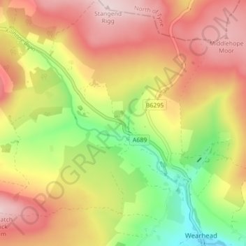
Nombre: Mapa topográfico Lanehead, altitud, relieve.
Altitud media: 494 m
Altitud mínima: 334 m
Altitud máxima: 632 m
Otros mapas topográficos
Haga clic en un mapa para ver su topografía, su altitud y su relieve.
South Agnew Plantation
United Kingdom > England > County Durham > Newton Aycliffe
Altitud media: 100 m
Derwent Gorge and Muggleswick Woods National Nature Reserve
United Kingdom > England > County Durham > Castleside > Healeyfield
Altitud media: 214 m
Great High Wood
United Kingdom > England > County Durham > Durham > High Shincliffe
Altitud media: 63 m
Bishop Middleham Quarry Nature Reserve
United Kingdom > England > County Durham > Bishop Middleham
Altitud media: 115 m
Oakey's Park
United Kingdom > England > County Durham > Stanley > West Shield Row Villas
Altitud media: 182 m
Tunstall Reservoir
United Kingdom > England > County Durham > Wolsingham
The reservoir was created for the Weardale and Shildon District Waterworks Company, with construction of the dam between 1873 and 1879.[2][3] The earth embankment dam was built across the valley of Waskerley Beck, and measures 1,020 feet (310 m) long and 82 feet (25 m) high. It was constructed with a puddle…
Altitud media: 288 m