

Mapas topográficos Cebu
Haga clic en un mapa para ver su topografía, su altitud y su relieve.
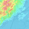




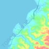
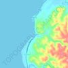









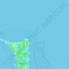









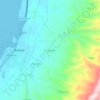
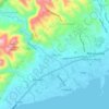


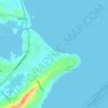
Cordova
The surface of the town consists entirely of karstic limestone rock geologically associated with the Plio-Pleistocene Carcar Formation, dated to 2½–3 million years ago. The topography of Cordova is flat land, the highest point being only 10 metres (33 ft) above sea level.
Altitud media: 0 m

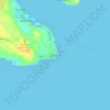
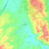
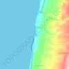
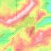
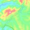
Carnaza
The island's topography includes coastal plains, mangrove swamps, lagoons and semi-rounded hills. Its coastal plain constitutes about 9.7% while semi-rounded hills constitute the biggest portion of the island covering about 14.4% of the total area. The mangrove forest has an area of about 10.1 hectares or 5.8%…
Altitud media: 0 m















Acerca de este lugar
Talisay • Argao • Danao • Balamban • Compostela • Dalaguete • Oslob • Lapu-Lapu • San Remigio • Barili • Aloguinsan • Consolacion • Toledo • Badian • Minglanilla • Pilar • Carmen • Dumanjug • Cordova • Ginatilan • Lilo-an • Asturias • Alcoy • Tuburan • Catmon • Boljoon • Tabogon • Ronda • Alegria • Carcar • Matutinao • Panadtaran • Manduang • Kangwayan • Daanbantayan • San Fernando • Poro • Sogod • Liloan • Uling • Patong • Santander • Madridejos • Logon • Naga • Sibonga • San Francisco • Cebu City • Borbon • Lutac • Danasan • Alcantara • Bagacay • Malabuyoc • Bojo • Guindarohan • Mayana • Santa Fe • Capitan Claudio • Maravilla • Zaragosa • Samboan • Bantayan • Pulpogan • Bahay • Pinamungajan • Casay • Obo • Sambag • Tangke • Candulawan • Lepanto • Bulacao • Guindaruhan • Altavista • Bangkito • Cabadiangan • Maloray • Malones • Bangcogon • Estaca • Bogo • Santo Rosario • Balidbid • Tudela • Medellin • Masaba • Basak Pardo • Busay • Moalboal