Mapa topográfico Satyamangalam
Haga clic en el mapa para ver la altitud.
Satyamangalam
Sathyamangalam is situated on the southern side of the Western Ghats, which extend towards the east from the Nilgiri mountains. The general topography is not flat and covered by sloping lands. Bhavani river flows at the center of the town from west to east. Agricultural wet lands are predominant on both sides of the river and dry lands are predominant on the northern side of the town. The soil mainly consists of black loam, red loam and red sand.
Acerca de este mapa
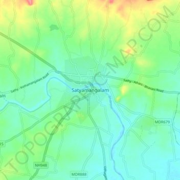
Nombre: Mapa topográfico Satyamangalam, altitud, relieve.
Altitud media: 248 m
Altitud mínima: 224 m
Altitud máxima: 310 m
Otros mapas topográficos
Haga clic en un mapa para ver su topografía, su altitud y su relieve.