
Mapa topográfico Dholka
Haga clic en el mapa para ver la altitud.
Dholka
Dholka is a City and municipality in the Ahmedabad District of the Indian state of Gujarat. It is the headquarters of Dholka Taluka, and is 48 km by road via National Highway 8A southwest of the city of Ahmedabad. Dholka has an average elevation of 17 metres (56 ft).
Acerca de este mapa
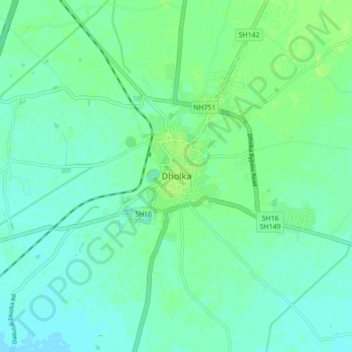
Nombre: Mapa topográfico Dholka, altitud, relieve.
Lugar: Dholka, Dholka Taluka, Ahmedabad, Gujarat, 387800, India (22.68661 72.40119 22.76661 72.48119)
Altitud media: 22 m
Altitud mínima: 17 m
Altitud máxima: 27 m
Otros mapas topográficos
Haga clic en un mapa para ver su topografía, su altitud y su relieve.