
Mapa topográfico Channel Islands
Mapa interactivo
Haga clic en el mapa para ver la altitud.
Acerca de este mapa
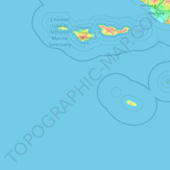
Nombre: Mapa topográfico Channel Islands, altitud, relieve.
Altitud media: 4 m
Altitud mínima: 0 m
Altitud máxima: 689 m
The Channel Islands at low elevations are virtually frost-free and constitute one of the few such areas in the 48 contiguous US states. It snows only rarely, on higher mountain peaks.
Otros mapas topográficos
Haga clic en un mapa para ver su topografía, su altitud y su relieve.
Santa Maria
United States > California > Santa Barbara County
Santa Maria, Santa Barbara County, CAL Fire Southern Region, California, United States
Altitud media: 86 m