
Mapa topográfico Mount Sungay
Haga clic en el mapa para ver la altitud.
Mount Sungay
The mountain peak was previously much higher with an elevation of 752 meters (2,467 ft), Its former profile, "a sharp peak at the eastern end of a table of land (Tagaytay Ridge)", was one of the visible landmarks used by early navigators when sailing to and around Manila Bay. It was conical in shape with steep sides deemed "inaccessible", topped by distinct rock formations that resembled horns, (Tagalog: sungay), hence the name.
Acerca de este mapa
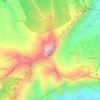
Nombre: Mapa topográfico Mount Sungay, altitud, relieve.
Altitud media: 501 m
Altitud mínima: 264 m
Altitud máxima: 728 m
Otros mapas topográficos
Haga clic en un mapa para ver su topografía, su altitud y su relieve.