
Mapa topográfico Kalayaan
Mapa interactivo
Haga clic en el mapa para ver la altitud.
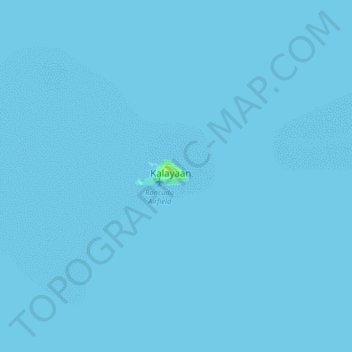
Kalayaan
The islets that comprise the municipality are generally flat. The highest ground elevation is approximately two meters above sea level.
Acerca de este mapa
Nombre: Mapa topográfico Kalayaan, altitud, relieve.
Lugar: Kalayaan, Palawan, Mimaropa, 5322, Philippines (11.01354 114.24517 11.09354 114.32517)
Altitud media: 0 m
Altitud mínima: 0 m
Altitud máxima: 8 m