
Gracias por apoyar a este sitio ❤️
Haz una donación
Haz una donación
Mapa topográfico Thedford
Haga clic en el mapa para ver la altitud.
Gracias por apoyar a este sitio ❤️
Haz una donación
Haz una donación
Acerca de este mapa
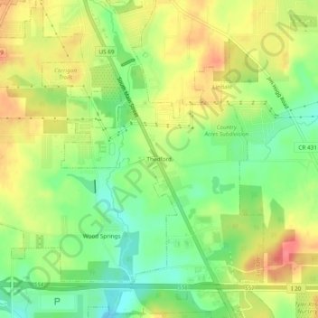
Nombre: Mapa topográfico Thedford, altitud, relieve.
Lugar: Thedford, Lindale, Smith County, Texas, 75771, United States (32.46455 -95.41638 32.50455 -95.37638)
Altitud media: 155 m
Altitud mínima: 124 m
Altitud máxima: 187 m
Gracias por apoyar a este sitio ❤️
Haz una donación
Haz una donación