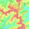
Mapa topográfico Angoulême
Haga clic en el mapa para ver la altitud.
Angoulême
The earliest Cretaceous period - the Cenomanian- is in the relatively low areas (l'Houmeau, the heights of Saint-Cybard, Sillac), at an average altitude of 50m.
Acerca de este mapa
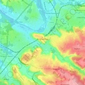
Nombre: Mapa topográfico Angoulême, altitud, relieve.
Altitud media: 72 m
Altitud mínima: 27 m
Altitud máxima: 150 m
Otros mapas topográficos
Haga clic en un mapa para ver su topografía, su altitud y su relieve.