
Mapa topográfico Schiltach
Mapa interactivo
Haga clic en el mapa para ver la altitud.
Schiltach
Schiltach lies on the eastern side of the Black Forest, at the confluence of the Schiltach and Kinzig rivers. It lies at an altitude of 330 metres (1,083 ft).
Acerca de este mapa
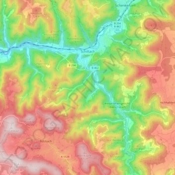
Nombre: Mapa topográfico Schiltach, altitud, relieve.
Altitud media: 588 m
Altitud mínima: 300 m
Altitud máxima: 877 m