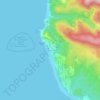
Mapa topográfico Nehalem
Haga clic en el mapa para ver la altitud.
Nehalem
Nehalem has an elevation of 11 feet. Lying so close to sea level, the area suffers intermittent floods. A 1996 storm caused particular damage, to local dairy farms. In November 2006, heavy rains caused flooding in Nehalem, resulting in $1 million in damage.
Acerca de este mapa
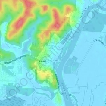
Nombre: Mapa topográfico Nehalem, altitud, relieve.
Lugar: Nehalem, Tillamook County, Oregon, 97131, United States (45.71068 -123.90044 45.72887 -123.88546)
Altitud media: 16 m
Altitud mínima: -3 m
Altitud máxima: 83 m
Otros mapas topográficos
Haga clic en un mapa para ver su topografía, su altitud y su relieve.


Neahkahnie Mountain
United States > Oregon > Tillamook County
Neahkahnie Mountain is a mountain, or headland, on the Oregon Coast, north of Manzanita in Oswald West State Park overlooking U.S. Route 101, that has a pass elevation of approximately 620 feet (190 m), which is the third highest point of the highway in Oregon. The peak is part of the Northern Oregon Coast…
Altitud media: 164 m