
Gracias por apoyar a este sitio ❤️
Haz una donación
Haz una donación
Mapa topográfico Chodavaram
Haga clic en el mapa para ver la altitud.
Gracias por apoyar a este sitio ❤️
Haz una donación
Haz una donación
Acerca de este mapa
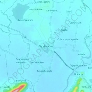
Nombre: Mapa topográfico Chodavaram, altitud, relieve.
Lugar: Chodavaram, Anakapalli, Andhra Pradesh, 531036, India (17.78968 82.89448 17.86968 82.97448)
Altitud media: 50 m
Altitud mínima: 35 m
Altitud máxima: 364 m
Gracias por apoyar a este sitio ❤️
Haz una donación
Haz una donación
Otros mapas topográficos
Haga clic en un mapa para ver su topografía, su altitud y su relieve.
Sarada
India > Andhra Pradesh > Chodavaram
The catchment area of the basin is 2,665 square kilometers. It rises at an elevation of 1,000 meters in the Eastern Ghats. It runs eastwards for a distance 122 kilometers and joins the Bay of Bengal.
Altitud media: 222 m