
Mapa topográfico Les Figuières Méjean et Vallon de Perussier
Mapa interactivo
Haga clic en el mapa para ver la altitud.
Acerca de este mapa
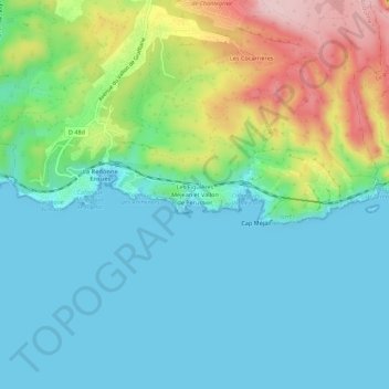
Nombre: Mapa topográfico Les Figuières Méjean et Vallon de Perussier, altitud, relieve.
Altitud media: 63 m
Altitud mínima: 0 m
Altitud máxima: 235 m