
Mapa topográfico Abbot Pass Hut
Mapa interactivo
Haga clic en el mapa para ver la altitud.
Abbot Pass Hut
The approach via Lake O'Hara is by far the most popular route into the hut. It is safer and less technical than going in via the Deathtrap or the Fuhrmann Ledges. It involves about 900 metres (3,000 feet) of elevation gain and 3 to 5+ hours from Lake O'Hara to the hut depending on conditions and the strength of the party. People should not automatically assume they can always get to the hut, since some groups have been caught out overnight on the trail or stranded at the hut in bad weather conditions.
Acerca de este mapa
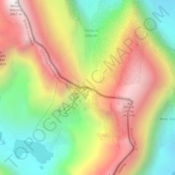
Nombre: Mapa topográfico Abbot Pass Hut, altitud, relieve.
Altitud media: 2,789 m
Altitud mínima: 2,186 m
Altitud máxima: 3,444 m