
Mapa topográfico Rupert
Mapa interactivo
Haga clic en el mapa para ver la altitud.
Acerca de este mapa
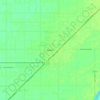
Nombre: Mapa topográfico Rupert, altitud, relieve.
Lugar: Rupert, Minidoka County, Idaho, 83350, United States (42.57908 -113.71723 42.65908 -113.63723)
Altitud media: 1,267 m
Altitud mínima: 1,260 m
Altitud máxima: 1,271 m
Rupert is located at an elevation of 4,157 feet (1,267 m) above sea level. It is part of the agricultural region of the Snake River Plain known as Magic Valley, and is a few miles north of the Snake River. Interstate 84 passes a few miles to the south, and before its construction, U.S. Route 30 passed through Rupert. Acequia lies about 5 miles (8 km) northeast of Rupert and Paul is about the same distance to the west.