
Gracias por apoyar a este sitio ❤️
Haz una donación
Haz una donación
Mapa topográfico Paddy Freeman's Park
Haga clic en el mapa para ver la altitud.
Gracias por apoyar a este sitio ❤️
Haz una donación
Haz una donación
Acerca de este mapa
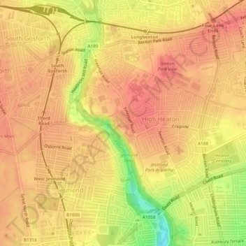
Nombre: Mapa topográfico Paddy Freeman's Park, altitud, relieve.
Altitud media: 58 m
Altitud mínima: 13 m
Altitud máxima: 75 m
Gracias por apoyar a este sitio ❤️
Haz una donación
Haz una donación
Otros mapas topográficos
Haga clic en un mapa para ver su topografía, su altitud y su relieve.
Gracias por apoyar a este sitio ❤️
Haz una donación
Haz una donación
Newburn
United Kingdom > England > Newcastle upon Tyne
In 1855, William Whellan's History, Topography, and Directory of Northumberland described the banks of the Tyne at this point having extensive iron works, coal staithes, brickyards, chemical works and other manufactories.
Altitud media: 58 m
Gracias por apoyar a este sitio ❤️
Haz una donación
Haz una donación