
Mapa topográfico McLeod Lake
Mapa interactivo
Haga clic en el mapa para ver la altitud.
McLeod Lake
A point in the marshes on its southern shore of nearby Summit Lake marks the low point of the divide between the drainages of the Fraser and Peace Rivers, As such it is significant as the prominence col between all points south in the Rockies and beyond and their "parent" summits in northern BC and Alaska. Summit Lake col, at 710 m (2,330 ft) in elevation, is the low point on the mountain spine of the Americas that connects Pico de Orizaba (5,640 m (18,500 ft)) in Mexico with its next-higher "parent" peak, Mount Logan (5,959 m (19,551 ft)).
Acerca de este mapa
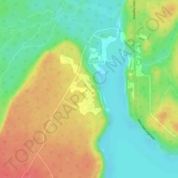
Nombre: Mapa topográfico McLeod Lake, altitud, relieve.
Altitud media: 699 m
Altitud mínima: 670 m
Altitud máxima: 734 m