
Mapa topográfico Walag
Haga clic en el mapa para ver la altitud.
Acerca de este mapa
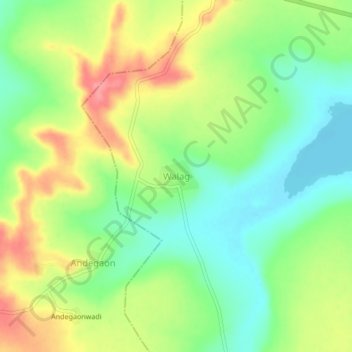
Nombre: Mapa topográfico Walag, altitud, relieve.
Lugar: Walag, Deglur, Nanded District, Maharashtra, 431718, India (18.44969 77.43821 18.48969 77.47821)
Altitud media: 427 m
Altitud mínima: 389 m
Altitud máxima: 477 m
Otros mapas topográficos
Haga clic en un mapa para ver su topografía, su altitud y su relieve.