
Mapa topográfico Chintamani
Haga clic en el mapa para ver la altitud.
Chintamani
Chintamani lies in the southeast of the South Indian state of Karnataka. It is in the heart of the Mysore Plateau at an average elevation of 865 m (2,838 ft). The Taluk geographically lies between 78°12′36″N 13°16′38″E / 78.21000°N 13.27722°E / 78.21000; 13.27722 and 77°51′39″N 13°42′00″E / 77.86083°N 13.70000°E / 77.86083; 13.70000. The Chintamani Town lies between 13°24′N 78°04′E / 13.40°N 78.06°E / 13.40; 78.06.
Acerca de este mapa
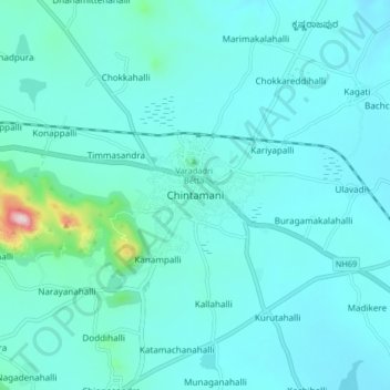
Nombre: Mapa topográfico Chintamani, altitud, relieve.
Altitud media: 886 m
Altitud mínima: 833 m
Altitud máxima: 1,336 m